1. a sample spread sheet that configured with data fields(pmsdata.zip 3k)
2. maps to use in presentations
A. National Map (usamap.gif 112K)
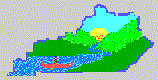
B. State Map (kywaters.gif 16K)
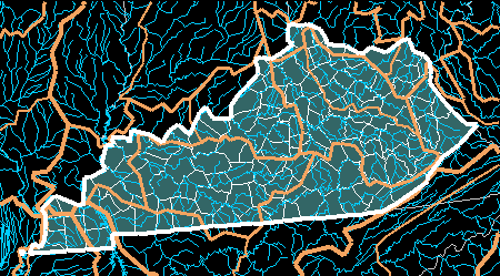
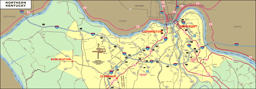
C. Local Map (ky-north.gif 102K)
a Power Point template of the local creek (creek.ppt 800k)
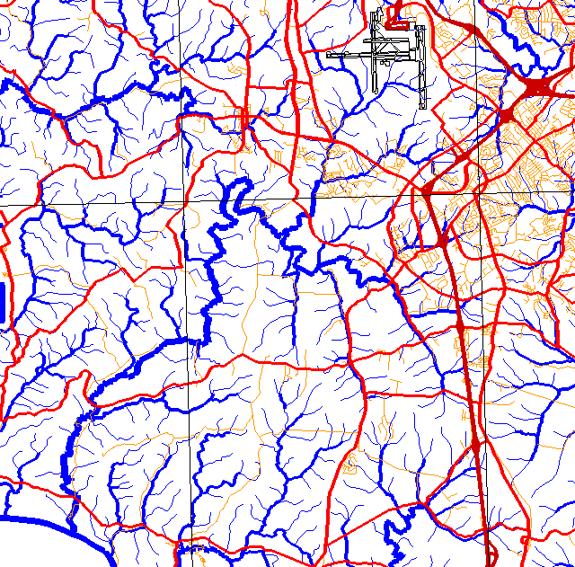
a map of the local watershed we will be visiting
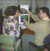
1. Images from field visits taken from QuicTake or captured video.
 Kentucky Water Watch Program
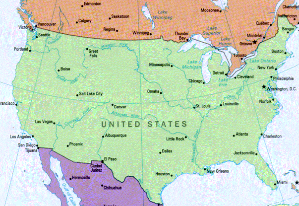